Sry Handini PuteriTata Cara Perpanjangan Passport Indonesia / Memperbaharui Passport di KBRI Den HaagHalo! Salam hangat.5 min read·Apr 22, 2024----
Sry Handini PuteriExtracting and Visualizing Annual Average Rainfall using GEEToday, I need to extract information on multi-temporal rainfall using GEE. In GEE, there are different option of satellite for extracting…2 min read·Jun 30, 2023----
Sry Handini PuteriGeospatial Data Processing using Python [Part 1-Accessing The Dataset via STAC]Geospatial analysis has been increasing significantly in the recent couple of years. Analyzing large datasets has been a new norm for…6 min read·May 15, 2023----
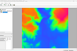
Sry Handini PuteriExploring ILWIS softwareILWIS stands for The Integrated Land and Water Information System, a software that focuses itself on raster-based analysis. It is initially…5 min read·Apr 24, 2023----
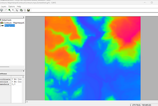
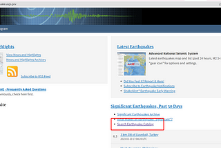
Sry Handini PuteriDownload the earthquake dataset from USGS and identify its distributionA global dataset for earthquakes has been made globally available by USGS. Here are the steps to download the dataset and display it based…·2 min read·Feb 20, 2023----
Sry Handini Puteri[UAV] Data Inspection on PIX4DmapperThere are two software that is commonly used for aerial data processing, which are PIX4Dmapper and Agisoft. PIX4Dmapper is the software…·5 min read·Dec 19, 2022----
Sry Handini Puteri[UAV] How to Install the Pix4DThe usage of Unmanned Aerial Photography (UAV) as a platform for multiple image collection is on the rise. Those recorded image contains…·3 min read·Dec 13, 2022----
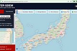
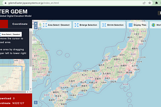
Sry Handini PuteriDownloading ASTER Satellite ImageASTER is a satellite image that contains the Digital Elevation Model (DEM) information. ASTER stands for Advanced Spaceborne Thermal…·3 min read·Nov 22, 2022----
Sry Handini PuteriHow to Download Building Footprints from Open Street Maps (OSM)Many times we want to download the building footprints from one area. One of the options is the layer from Open Street Maps. Even thought…·3 min read·Jul 26, 2022----
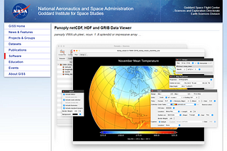
Sry Handini PuteriHow to install NASA PanoplyPanoply is a graphical visualization tool which is able to produce two dimensional plots of geographically referenced data. Panoply is a…·3 min read·Apr 7, 2022--1--1
![Geospatial Data Processing using Python [Part 1-Accessing The Dataset via STAC]](https://miro.medium.com/v2/resize:fill:160:106/1*IdvY3kW1swaAnsiO4m73-Q.png)
![Geospatial Data Processing using Python [Part 1-Accessing The Dataset via STAC]](https://miro.medium.com/v2/resize:fill:320:214/1*IdvY3kW1swaAnsiO4m73-Q.png)
![[UAV] Data Inspection on PIX4Dmapper](https://miro.medium.com/v2/resize:fill:160:106/1*SaJ79MM_0nCJKC8Lliz5Vg.png)
![[UAV] Data Inspection on PIX4Dmapper](https://miro.medium.com/v2/resize:fill:320:214/1*SaJ79MM_0nCJKC8Lliz5Vg.png)
![[UAV] How to Install the Pix4D](https://miro.medium.com/v2/resize:fill:160:106/1*2Q9sh-xy6RTKE6NHzpmEiA.png)
![[UAV] How to Install the Pix4D](https://miro.medium.com/v2/resize:fill:320:214/1*2Q9sh-xy6RTKE6NHzpmEiA.png)